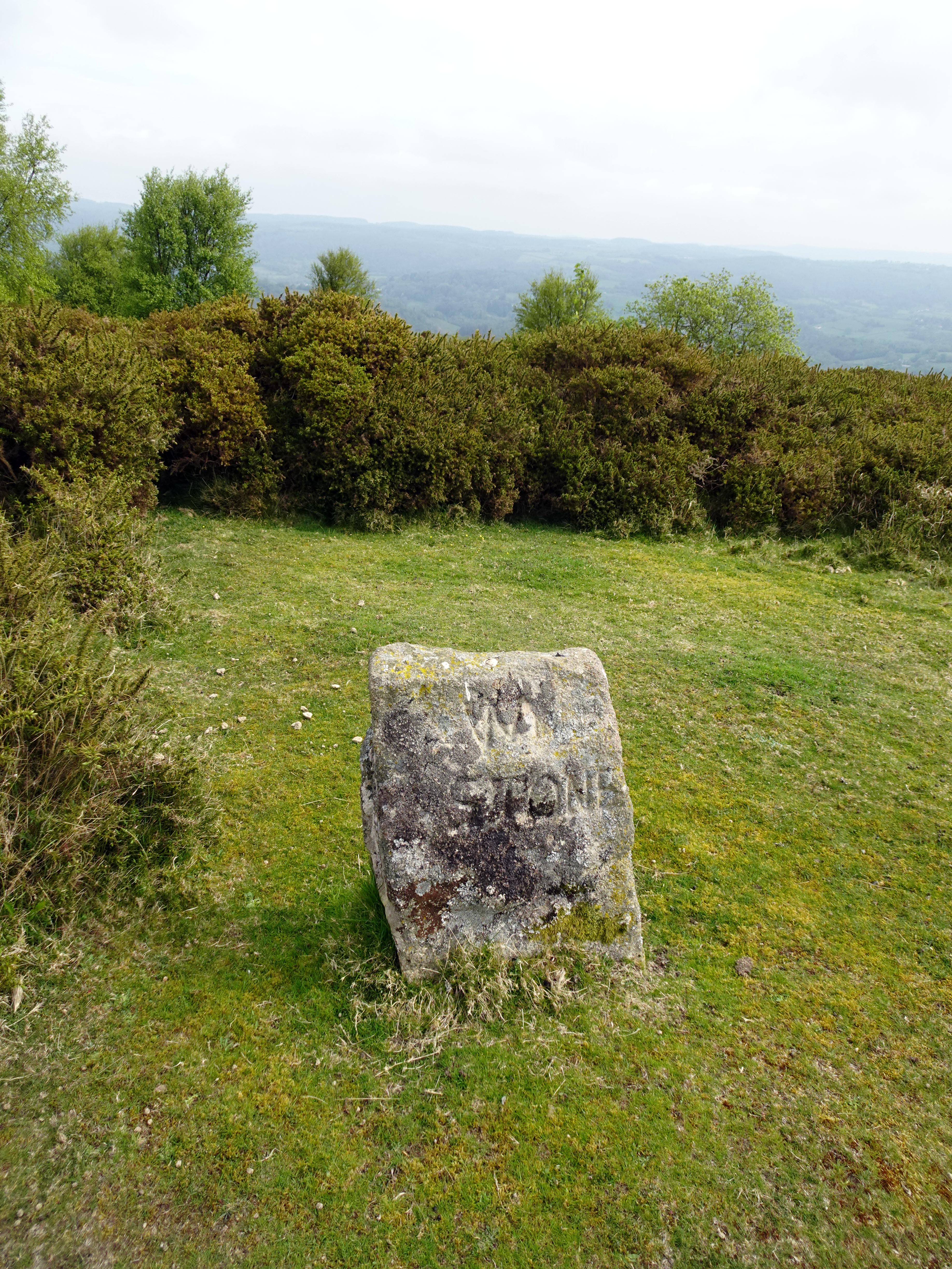
The William Stone Boundary Marker stands on the southern flank of Haytor Down, one of a sequence of named stones erected or confirmed during the 1850s when the 11th Duke of Somerset formalised the limits of his holdings at Natsworthy and Ilsington. In 1853 and 1854 he set out a line of granite posts, each inscribed with his initials “DS” and the date, interspersing them with earlier boundary points and natural rocks already recognised in local custom. The naming scheme was largely royal – Prince Albert, Victoria, Prince of Wales – but among these appear two more obscure titles: “Old Jack” and “Wm Stone”. The latter is the only stone in the sequence not to bear the Duke’s initials.
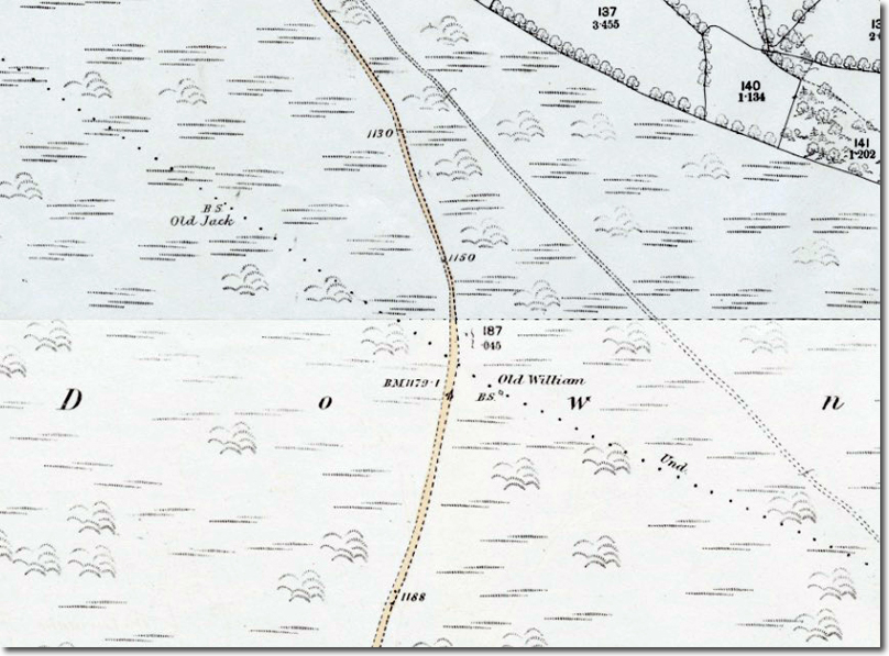
On early Ordnance Survey maps the marker is recorded as “Old William”, suggesting that the present inscription is a shortened survival of a longer name. One face carries the letters “WM”, the other the date 1853 together with an Ordnance Survey bench mark. The rougher finish of the stone compared with its neighbours has led to speculation that the original inscription may have been damaged or lost, or that the stone was adapted from an earlier boundary point. There is a further possibility that the site corresponds to the Writelan Stan mentioned in the Anglo‑Saxon Peadington Landscore, an early estate boundary that crossed this part of the moor. If so, the 1853 stone simply perpetuated a much older limit.
The marker forms part of a line that includes Owlacombe Burrow, Prince Albert, the later DNPA “Prince of Wales” stone of 2001, Old Jack and Victoria, before rising to the Three Parish Stone where the lands of Bovey Tracey, Ilsington and Manaton meet. The William Stone marker lies close to the lower tracks above Haytor Vale and is reached by leaving the road north of the village and following the less obvious paths across the down. Although the stone is straightforward to locate, several others in the sequence require more searching, especially where bracken growth obscures the ground in summer.
As with many Dartmoor boundary stones, the William Stone marker is a modest object with a long administrative history behind it. These posts defined grazing rights, parish responsibilities and manorial limits, and were walked and witnessed during perambulations. The 1853–54 stones represent a Victorian reassertion of those boundaries at a time when landownership and mineral rights were being more precisely recorded. Today the William Stone marker remains a small but clear reminder of that process, standing on the open down between Haytor and Ilsington much as it did when first set in place.